


The American Society of Civil Engineers produced accepted guidelines for the collection and depiction of existing subsurface utility data (ASCE 38-02) to better meet specific engineering requirements. These standards serve as a guide for engineers to determine the level of detail they require to gain the most benefit from subsurface utility engineering services.
QUALITY LEVEL D: Reviewing Records – Pre-Design Phase
Utility information plotted on the drawings based solely on record information, individual recollections or the existence of utility service. Information other than horizontal location information may also be obtained from records. All information shown (other than at test hole locations, see QL A below), with reference to a utilities size, capacity, material composition, condition or service status should be considered QL D even though the utility may be plotted and labeled as QL C or QL B.
QUALITY LEVEL C: Visual Sight Survey – Planning and Sight Survey Phase
Utility information obtained as above for quality level D, plotted to correlate with surface utility features which have been field verified, survey located and accurately reduced onto the design/construction documents. Included in this category are utility depictions, which in the professional opinion of the subsurface utility engineer represent the most probable approximate horizontal location, type and/or existence of a utility. Aerial utility information may also be included in this category. It should be noted that utilities, which are, typically non-linear (e.g. direct buried telephone) could be shown as QL D even if correlated to surface utility features.
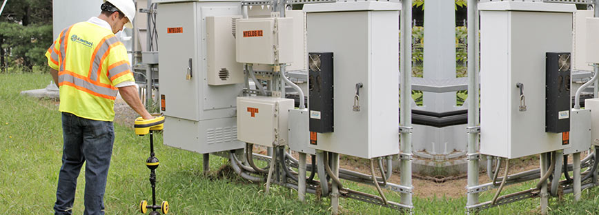
QUALITY LEVEL B: Designation – Design Phase
Utility information derived by establishing the surface horizontal location of a utility using electronic methods (Designation). This information is subsequently field survey located and accurately reduced onto the design/construction documents.
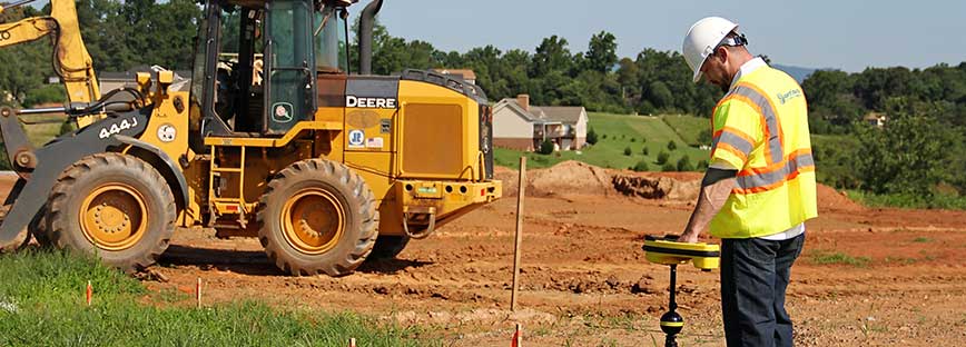
QUAILITY LEVEL A: Designating and Locating – Design and Pre-Construction Phase
Utility information which has been visually verified, survey located (both horizontally and vertically) and accurately reduced onto the design/construction documents. This Information is typically shown on a test hole data table or exploration hole log.